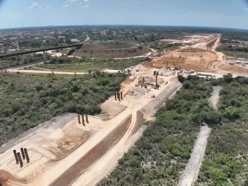
Pittsburgh’s urban grid, carved into the valleys of the Allegheny and Monongahela rivers, rests on a geological patchwork that has shaped engineering decisions since the steel era. The transition from Pennsylvanian bedrock to deep alluvial silts and man-made fill along the riverfronts creates abrupt changes in seismic response—exactly the kind of challenge that a MASW survey resolves without disturbing the site. Our team applies the Multichannel Analysis of Surface Waves method to map shear wave velocity profiles across the city’s distinctive terrain, from the shale slopes of Mount Washington to the reclaimed flats of the Strip District. The resulting VS30 values feed directly into IBC Chapter 16 site classification, providing the parameter that structural engineers need before they can finalize foundation design or seismic load calculations. When a project sits near a known landslide zone or on variable glacial deposits, combining the velocity model with a slope stability evaluation adds a critical dimension to the geotechnical picture.
A VS30 value derived from a well-executed MASW line gives the structural engineer a defensible Site Class without putting a single borehole into questionable fill.
Scope of work in Pittsburgh
Local geotechnical conditions in Pittsburgh
The Pennsylvanian-aged bedrock underlying Pittsburgh—primarily the Conemaugh and Monongahela Groups—outcrops on steep slopes but plunges to depths exceeding 30 meters beneath the river valleys, where soft alluvium and anthropogenic fill dominate the upper profile. A Site Class determined from a single boring can misclassify the entire parcel when the bedrock surface varies by 10 meters across a 30-meter transect. MASW captures that lateral variation, revealing velocity contrasts that hidden channels or abandoned mine entries create. The March 2023 collapse on Penn Avenue, traced to undocumented fill over a buried stream valley, underscores why relying on point data alone invites risk. A continuous shear wave velocity cross-section identifies low-velocity zones that point investigations miss, allowing the design team to adjust foundation type or ground improvement scope before excavation begins.
Our services
Our Pittsburgh MASW services cover the full workflow from array design to final IBC site classification. Every survey is executed by a crew that understands the logistical constraints of urban and hillside work in Western Pennsylvania.
VS30 Site Classification Surveys
A complete MASW campaign with multiple array positions, dispersion analysis, inversion modeling, and a signed report assigning the IBC Site Class (A through F) based on the computed VS30. Suitable for new building permits, hospital retrofits, and school projects requiring DSA or local code compliance.
2D Shear Wave Velocity Cross-Sections
Multi-line MASW acquisition across the building footprint, processed into a fence diagram or 2D section that maps lateral velocity changes. Critical for sites with suspected buried valleys, variable fill thickness, or abandoned mine workings where a single VS30 value does not tell the full story.
Quick answers
What does a MASW survey cost for a typical Pittsburgh commercial lot?
For a standard commercial parcel in Allegheny County requiring two to three MASW lines with full inversion and an IBC site classification report, the fee generally ranges from US$1,800 to US$2,890. The final cost depends on access constraints, line length, and whether we need to close a lane or coordinate with active construction traffic.
How does MASW compare to downhole or crosshole seismic for VS30?
Downhole and crosshole methods require a borehole and provide a direct travel-time measurement, which can be more precise at depth. MASW is surface-based and non-invasive, so it avoids drilling costs and works well in fill or rubble where borehole casing can fail. For VS30 determination—an average over the upper 30 meters—MASW typically matches borehole results within 10-15% when the site has a normal velocity gradient, and it offers better lateral coverage per dollar spent.
How long does a MASW survey take and what access do you need?
Field acquisition for a 2-line MASW survey usually takes half a day, provided we have a clear, relatively flat strip about 50 meters long for the geophone spread. We can work on pavement, gravel, or grass. Processing and reporting add three to five business days. Steep Pittsburgh hillsides may require a shorter spread and multiple roll-along positions, which extends field time but still delivers the same data quality.